The intersection of municipal housing mandates and conservation directives shapes the urban landscape of modern suburban settlements. In the town of Esher, located within the Borough of Elmbridge in Surrey, the distribution of land use serves as a primary point of regulatory evaluation. As municipal administrative bodies address changing housing requirements, the preservation of communal environmental assets remains a central administrative focus. This examination by The Londoner News provides a comprehensive analysis of the ongoing structural updates, legal frameworks, and environmental implications dictating local planning policies in Esher.
- What Is The Current State Of Proposed Residential Developments In Esher?
- How Does The Green Belt Framework Govern Land Use In Esher?
- What Major Urban Development Sites Are Altering Esher’s Landscape?
- How Do Local Development Projects Impact Resident Green Space?
- What Is The Procedure For Public Consultation In Local Planning Decisions?
- How Does The Climate Change Strategy Intersect With Esher Planning Policy?
- What Financial Frameworks Link Residential Development To Infrastructure Upgrades?
- What Are The Long-Term Planning Projections And Implications For Esher?
What Is The Current State Of Proposed Residential Developments In Esher?
The current state of proposed residential developments in Esher involves a strategic alignment between the Elmbridge Borough Council Local Plan and national housing delivery targets. The administrative focus centers on maximizing urban brownfield site optimization to prevent green space encroachment.
The structural development of Esher operates under the statutory authority of the Elmbridge Borough Council, which is responsible for formulating and executing the spatial planning frameworks for the region. A critical component of this framework is the Elmbridge Local Plan, a statutory document that outlines the long-term spatial strategy, development allocations, and environmental protection boundaries across the borough. The local authority is subject to the National Planning Policy Framework (NPPF), a centralized government mandate that enforces a standard method for calculating local housing need. Under these legislative parameters, the borough faces consistent pressure to increase its residential housing delivery to address regional population growth and affordability metrics.
To satisfy these mandates without destabilizing the spatial character of the area, current planning proposals prioritize urban densification. The primary mechanism utilized by local planning officers is the intensification of brownfield land, which refers to previously developed land that is available for redevelopment. Examples of targeted urban sectors include redundant commercial buildings, underutilized municipal car parks, and brownfield infill parcels within the existing settlement boundaries of Esher. By concentrating residential density within these established urban nodes, the local planning authority seeks to fulfill its Objectively Assessed Need (OAN) for housing while adhering to statutory growth restrictions.
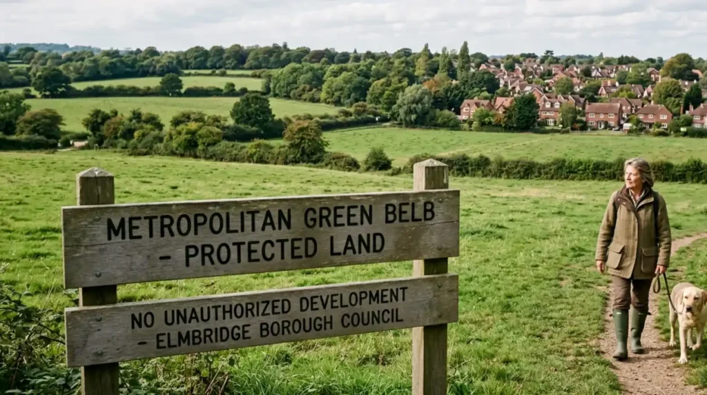
How Does The Green Belt Framework Govern Land Use In Esher?
The Green Belt framework governs land use in Esher by imposing strict statutory prohibitions against inappropriate development on designated protected fields. This legal designation covers approximately 57 percent of the total land area within the broader Elmbridge borough boundaries.
The Metropolitan Green Belt is a statutory land-use designation established under the Town and Country Planning Act 1947 to prevent urban sprawl by keeping land permanently open. In Esher, this designation serves as the primary legal mechanism for containing the outward expansion of the built environment. The National Planning Policy Framework defines the five explicit purposes of the Green Belt:
- To check the unrestricted sprawl of large built-up areas.
- To prevent neighboring towns from merging into one another.
- To assist in safeguarding the countryside from encroachment.
- To preserve the setting and special character of historic towns.
- To assist in urban regeneration by encouraging the recycling of derelict and other urban land.
The administrative application of these principles means that any residential application submitted for a site within the designated Green Belt is subject to a presumption of refusal. Under local and national planning laws, inappropriate development is by definition harmful to the Green Belt and is not approved except in very special circumstances. To establish very special circumstances, a developer must demonstrate that the potential public benefits of the proposed construction outweigh the structural harm caused to the openness and permanence of the protected land. Consequently, the Green Belt operates as a rigid boundary that redirects capital and construction initiatives inward toward the urban core.
What Major Urban Development Sites Are Altering Esher’s Landscape?
Major urban development sites altering Esher’s landscape include the masterplan infrastructure upgrades at Sandown Park Racecourse and targeted commercial-to-residential conversions. These projects utilize surplus parcel allocations to integrate localized housing units near transport corridors.
A primary example of large-scale site evaluation in Esher is the Sandown Park Racecourse Masterplan. The Jockey Club Racecourses (JCR) formulated a comprehensive strategy to secure the long-term economic and structural viability of the venue by identifying discrete, surplus land parcels within its landholding for residential development. The masterplan dictates the execution of a hybrid planning application, combining infrastructural racecourse enhancements with the construction of dedicated housing units. This development model aims to generate capital reinvestment for the modernization of the existing grandstand, stable facilities, and community operational zones.
In addition to major recreational landholdings, the townscape is undergoing incremental modification through commercial-to-residential conversions. These developments frequently utilize Permitted Development (PD) rights, a statutory instrument that allows the transformation of specific commercial properties (Class E) into residential dwellings (Class C3) without requiring full planning permission. Three types of urban structures subject to these conversions include:
- Redundant office blocks along the high street corridor.
- Vacant retail warehouses situated near the peripheral transit lines.
- Underutilized storage facilities within light industrial zones.
The spatial concentration of these developments near the Esher railway station and central high street is designed to support sustainable transport initiatives by reducing private vehicle dependency.
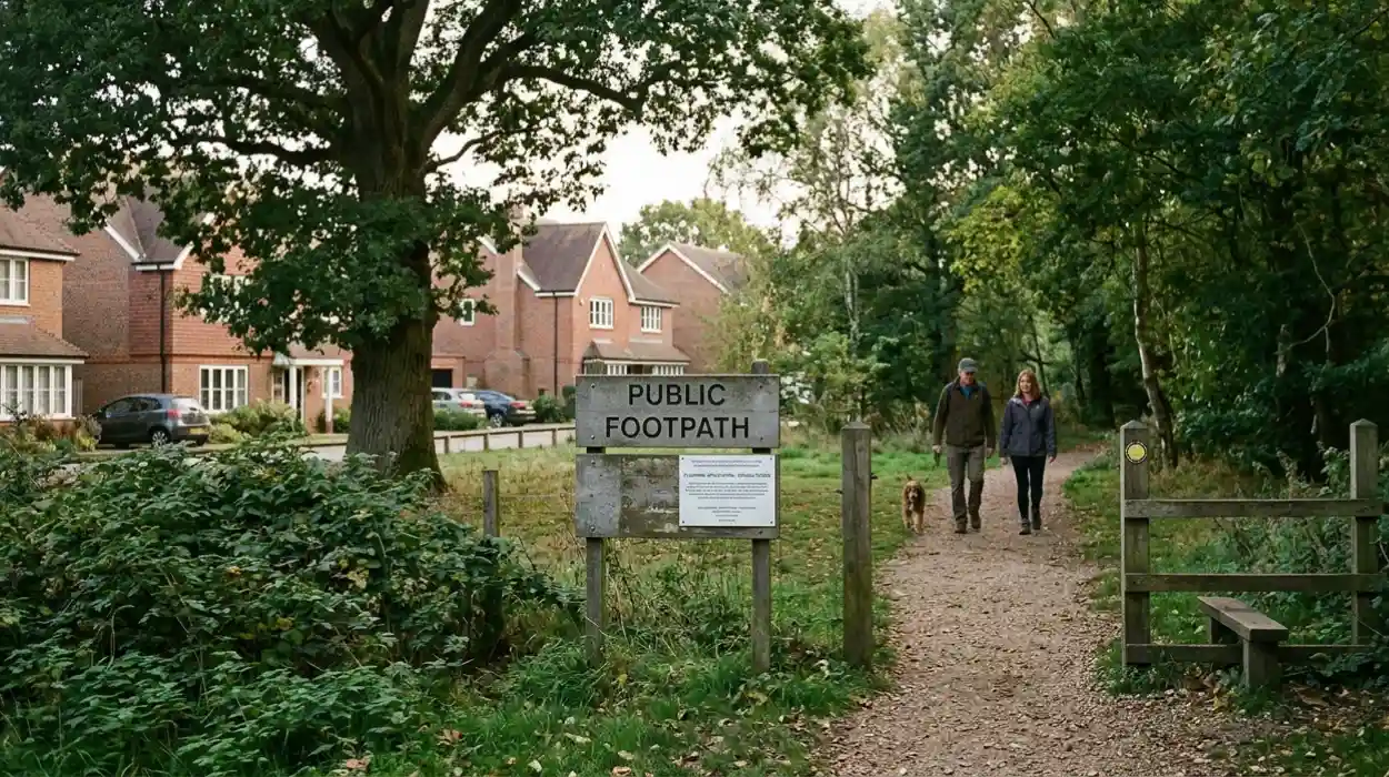
How Do Local Development Projects Impact Resident Green Space?
Local development projects impact resident green space by altering the ratio of open land per capita and modifying local biodiversity levels. While urban brownfield construction preserves large rural fields, it reduces interstitial green spaces within the immediate townscape.
The relationship between residential density and environmental preservation directly influences the quality of life for the local population. Urban green spaces provide critical ecosystem services, including localized climate regulation, rainwater attenuation, and psychological benefits for residents. When planning permissions favor high-density residential infill, the physical volume of permeable ground cover within the settlement boundary often decreases. This reduction in open space impacts the immediate microclimate and limits the availability of informal recreational zones within walking distance of residential areas.
To counteract the ecological degradation associated with structural densification, all new residential developments must comply with the statutory Biodiversity Net Gain (BNG) mandate enforced under the Environment Act. This legal framework requires development projects to deliver a minimum 10 percent increase in localized biodiversity compared to the pre-development baseline. Developers must achieve this gain through specific environmental mechanisms. Three examples of these mandatory interventions include:
- The installation of living green roofs and vertical green walls on multi-story residential designs.
- The creation of on-site micro-wetlands and Sustainable Drainage Systems (SuDS) to handle surface water.
- The planting of native arboreal species and wildlife corridors within the communal spaces of the development.
If a site cannot accommodate the required 10 percent increase within its physical boundaries, developers must purchase off-site biodiversity units to fund ecological restoration elsewhere in the borough.
Explore More Things To Do
New Support Grants Open for Small Independent Businesses: London 2026
Nextdoor and Reddit Community Grievance Report: North London
What Is The Procedure For Public Consultation In Local Planning Decisions?
The procedure for public consultation in local planning decisions involves formal statutory notice periods, electronic representation submissions, and public committee examinations. This process allows residents, civic societies, and statutory consultees to submit formal objections or expressions of support.
The evaluation of planning applications follows a transparent legislative sequence dictated by the Town and Country Planning (Development Management Procedure) (England) Order. When a developer submits a major residential proposal to Elmbridge Borough Council, the authority must initiate a formal publicity period lasting a minimum of 21 days. This notification process alerts the local community through public site notices, direct neighbor notification letters, and digital publications on the municipal planning portal. During this window, individuals and organizations possess the legal right to submit formal representations reflecting their technical or material concerns regarding the proposed scheme.
To influence the decision-making process, representations must focus on material planning considerations. These are technical factors defined by law that planning officers must weigh when determining the outcome of an application. Three examples of valid material considerations include:
- Overlooking and loss of privacy for adjacent properties.
- Negative impacts on the character or appearance of a designated Conservation Area.
- Increased traffic generation and highway safety hazards.
Non-material considerations, such as the loss of individual property value or private views across adjacent land, are legally excluded from the evaluation process. For major or highly contested applications, the final decision is transferred from delegated planning officers to the municipal Planning Committee, where registered public speakers can present oral arguments directly to elected council members.
How Does The Climate Change Strategy Intersect With Esher Planning Policy?
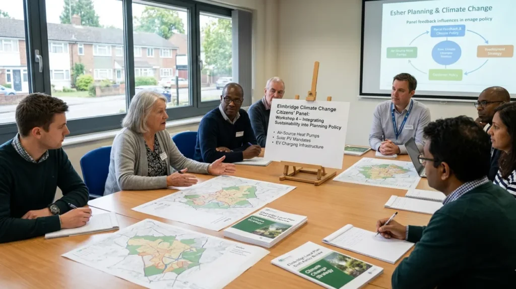
The climate change strategy intersects with Esher planning policy through the implementation of localized emission reduction goals and sustainable design mandates. The Elmbridge Climate Change Citizens’ Panel directly informs the environmental criteria integrated into the emerging Local Plan.
The integration of environmental sustainability metrics into local planning policy is driven by both national net-zero legislation and local government declarations. Elmbridge Borough Council has established specific climate action goals that require new residential architecture to demonstrate high levels of energy efficiency and resource conservation. To ensure these policies reflect community priorities, the council convened the Climate Change Citizens’ Panel, a representative body composed of 22 local residents who participated in extended workshops to analyze regional environmental challenges.
The recommendations generated by the Citizens’ Panel emphasize the need for rigorous structural standards in all upcoming residential allocations. Planning policies require developers to implement low-carbon technologies to minimize the operational footprint of new housing units. Three examples of mandated sustainable technologies include:
- The integration of air-source heat pumps to replace traditional fossil-fuel heating systems.
- The installation of high-efficiency photovoltaic solar arrays on optimal roof orientations.
- The adoption of advanced structural insulation techniques to achieve low thermal transmittance values.
Furthermore, development plans must align with broader regional transport strategies managed in coordination with Surrey County Council, focusing on the expansion of electric vehicle (EV) charging infrastructure and the enhancement of active travel routes to reduce carbon emissions across the borough.
What Financial Frameworks Link Residential Development To Infrastructure Upgrades?
The financial frameworks linking residential development to infrastructure upgrades rely on the Community Infrastructure Levy and Section 106 legal agreements. These mechanisms capture a percentage of development value to fund local public services and green spaces.
The execution of residential development creates additional demand on local public infrastructure, including schools, healthcare facilities, transport networks, and public parks. To mitigate this impact, the local planning authority utilizes statutory financial instruments to extract infrastructure contributions from developers. The primary mechanism is the Community Infrastructure Levy (CIL), a non-negotiable charge levied per square meter of new qualified internal floor space. CIL funds are pooled centrally by Elmbridge Borough Council and allocated to strategic borough-wide infrastructure projects, with a mandatory percentage directed specifically to local neighborhood areas to address immediate community needs.
In tandem with CIL, the planning authority utilizes Section 106 (S106) agreements, which are legally binding covenants executed under the Town and Country Planning Act 1990. While CIL addresses generalized infrastructure pooling, Section 106 agreements target site-specific mitigations necessary to make a development proposal acceptable in planning terms. Three types of infrastructure provisions secured via Section 106 agreements include:
- The direct provision of a specified percentage of affordable housing units within the site boundary.
- Dedicated financial contributions for the upgrade of adjacent public play areas and recreation grounds.
- The construction of targeted highway modifications to accommodate increased localized traffic flow.
Through these combined fiscal frameworks, municipal authorities seek to ensure that private residential growth directly subsidizes the expansion and maintenance of the public realm.
What Are The Long-Term Planning Projections And Implications For Esher?
The long-term planning projections and implications for Esher indicate a sustained focus on urban containment and strict brownfield prioritization through the year 2030 and beyond. The balancing act between state housing mandates and green asset preservation will dictate local real estate dynamics.
The future spatial configuration of Esher depends on the formal adoption and subsequent execution of the updated Elmbridge Local Plan. This policy framework establishes the housing delivery trajectories and spatial boundaries for the upcoming decade. By maintaining a defensive stance on the Green Belt, the local policy framework ensures that the spatial identity of Esher as a low-density, green suburban settlement remains intact. However, this policy of strict containment implies that the limited supply of developable urban land will face intensifying competition from conflicting land-use requirements.
This spatial constraint carries significant long-term structural implications for the region. The concentration of development capital within established settlement boundaries will accelerate the modernization of existing urban assets but will also result in higher localized building heights and increased structural density along main transport corridors. For the local population, the strict protection of peripheral green fields guarantees continued access to regional natural landscapes, while simultaneously requiring careful local monitoring of internal urban green spaces to prevent incremental loss of local canopy cover and biodiversity. The ongoing management of these spatial dynamics remains the definitive administrative challenge for the planning authorities governing Esher.
What is the Elmbridge Local Plan?
The Elmbridge Local Plan is the statutory planning framework prepared by Elmbridge Borough Council that governs housing allocation, land use, environmental protection, and infrastructure development across Esher and the wider borough. It determines where development can occur and establishes policies for transport, biodiversity, and urban density.