London’s famous streets are more than routes connecting districts. They are historical records of political authority, economic expansion, urban planning, trade, architecture, and social transformation. From medieval lanes established around markets and churches to grand Georgian boulevards designed for aristocratic residences and Victorian commercial avenues created during industrial growth, London’s streets reveal how Britain’s capital evolved across nearly two millennia.
- Why were London’s famous streets originally built?
- How did Roman London influence today’s famous streets?
- Why did medieval London develop narrow streets and lanes?
- How did the Great Fire of 1666 change London’s streets?
- Why did Georgian London create broad and elegant streets?
- How did Victorian engineering reshape London’s street network?
- Which famous London streets best illustrate the city’s historical development?
- How have London’s historic streets been preserved?
- Why do London’s famous streets remain historically important today?
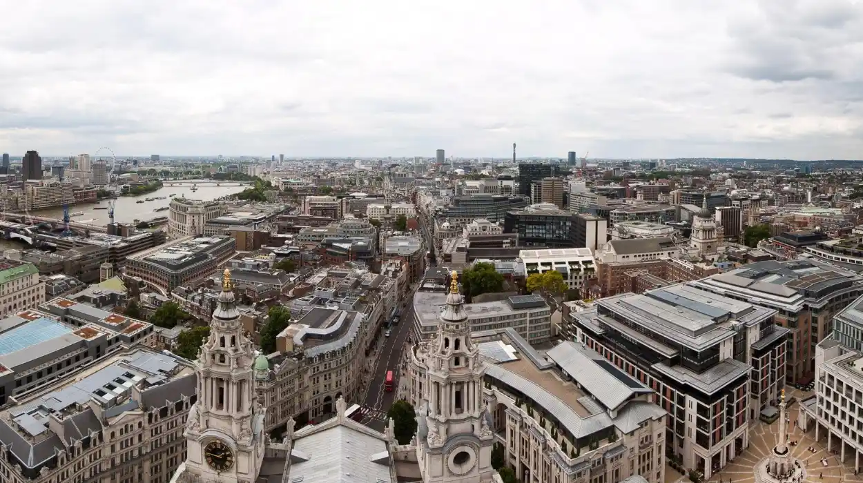
Many of today’s best-known streets originated in response to specific historical needs. Some connected royal palaces and government institutions. Others linked ports with commercial markets, served expanding residential neighbourhoods, or accommodated increasing traffic during the Industrial Revolution. Each generation reshaped London’s urban landscape while preserving elements of earlier periods, creating a city where Roman foundations, medieval alignments, Georgian planning, Victorian engineering, and modern infrastructure coexist.
The survival of these streets provides valuable evidence for historians, archaeologists, architects, genealogists, and cultural researchers. Street layouts preserve patterns of medieval property ownership, economic development, political influence, and social hierarchy. Their buildings document changing architectural styles, technological innovation, and London’s emergence as one of the world’s leading financial, cultural, and political capitals.
This article examines why London’s famous streets were built, how they developed through successive historical eras, and why they remain central to understanding the city’s past and present.
Why were London’s famous streets originally built?
London’s famous streets were built to connect markets, ports, government centres, royal residences, religious institutions, and growing neighbourhoods. Their routes reflected military strategy, commercial expansion, population growth, and urban planning across Roman, medieval, Georgian, Victorian, and modern periods, shaping London’s physical and economic development.
The earliest organised streets in London appeared after the Roman conquest of Britain in AD 43. Roman engineers established Londinium as a planned settlement on the northern bank of the River Thames. Streets followed a grid pattern that connected administrative buildings, military facilities, warehouses, and the river port.
The Roman road system served military logistics and imperial administration. Major roads radiated from Londinium towards other Roman settlements including York, Colchester, and St Albans. Their durable construction techniques influenced later street alignments that survive beneath modern London.
Following the Norman Conquest in 1066, London’s street network expanded around castles, markets, churches, monasteries, and guild halls. Medieval development occurred incrementally rather than through comprehensive planning. Narrow lanes reflected property ownership, local trade, and defensive considerations.
By the sixteenth and seventeenth centuries, increasing population and international trade transformed London’s streets into commercial corridors. Merchants established warehouses near the Thames while craftsmen clustered by profession in dedicated districts.
The Great Fire of London in 1666 destroyed approximately 13,200 houses, 87 parish churches, and most of the medieval City. Although proposals for an entirely new street grid were rejected because of complex land ownership, rebuilding introduced wider streets, improved building regulations, and greater use of brick and stone.
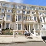
During the eighteenth century, aristocratic landowners developed planned neighbourhoods such as Mayfair, Bloomsbury, and Marylebone. Streets became symbols of prestige, wealth, and architectural order.
The nineteenth century brought railway construction, industrialisation, sanitation improvements, and modern traffic planning. New avenues connected railway stations, government buildings, financial districts, and expanding suburbs.
Today, London’s famous streets preserve this continuous evolution across nearly 2,000 years.
How did Roman London influence today’s famous streets?
Roman London established the city’s earliest organised street network through engineered roads, bridges, markets, and administrative centres. Several modern streets follow Roman alignments, preserving the foundations of London’s urban geography despite centuries of redevelopment and reconstruction.
Roman Londinium covered approximately 330 acres inside defensive walls constructed during the late second century AD. Archaeological excavations show that the city followed a structured street plan designed around administrative efficiency.
The principal east-west road connected the western gate with the eastern gate. The north-south route linked the Thames crossing with the northern entrance. These axes influenced numerous later streets despite repeated rebuilding.
Roman engineers prioritised drainage, durability, and movement. Roads contained multiple layers of gravel and stone supported by engineered foundations. Their construction allowed military units, merchants, and government officials to move efficiently across Britain.
The Roman bridge over the Thames established London as Britain’s primary crossing point between southern and eastern England. Commercial activity concentrated around this crossing, encouraging centuries of continuous development.
Excavations conducted by the Museum of London Archaeology continue to uncover Roman road surfaces beneath modern buildings, confirming remarkable continuity between ancient and present-day London.
The Roman emphasis on connectivity influenced later medieval and early modern expansion. Rather than abandoning Roman routes, successive generations adapted them to changing economic and political circumstances.
Roman urban planning therefore established London’s first coherent transport framework, forming the structural backbone upon which later streets developed.
Why did medieval London develop narrow streets and lanes?
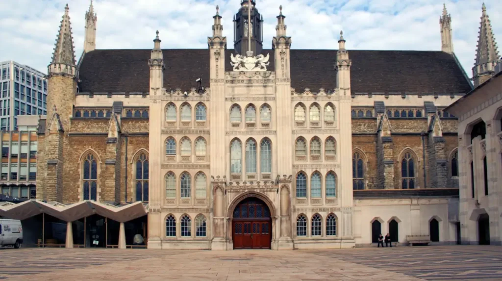
Medieval London’s streets developed gradually around markets, churches, guilds, and private landholdings. Limited planning, defensive priorities, and dense construction created narrow lanes that reflected commerce, property ownership, and local governance throughout the Middle Ages.
After Roman administration ended during the early fifth century, London’s population declined before recovering during the Anglo-Saxon period.
The medieval city expanded organically rather than through formal planning. Individual property owners constructed buildings according to local needs, producing irregular street patterns.
Markets became central organising features. Traders selling fish, bread, textiles, spices, and metal goods clustered together for commercial efficiency. Many street names still preserve these medieval occupations.
Guilds regulated craftsmanship and trade. Blacksmiths, goldsmiths, fishmongers, mercers, and drapers concentrated within specific districts, influencing street identities that continue today.
Religious institutions also shaped London’s geography. Parish churches, monasteries, hospitals, and charitable foundations generated surrounding residential and commercial activity.
The medieval city remained enclosed by defensive walls for centuries. Restricted space encouraged increasingly dense construction, producing narrow streets lined with timber-framed buildings.
Pedestrians, horses, carts, and livestock shared these confined routes. Despite congestion, London’s street network supported expanding domestic trade and growing international commerce.
Many surviving medieval alignments remain visible within the historic City of London, preserving evidence of urban life before the Great Fire.
How did the Great Fire of 1666 change London’s streets?
The Great Fire transformed London’s streets through safer building regulations, wider thoroughfares, improved fire prevention, and extensive reconstruction. Although medieval property boundaries limited complete redesign, rebuilding modernised the city’s infrastructure and architectural character.
Beginning on 2 September 1666, the Great Fire burned for four days before strong winds weakened and firefighting measures succeeded.
The disaster destroyed most buildings inside the medieval City. Public buildings, churches, guild halls, and commercial premises required extensive reconstruction.
Architect Sir Christopher Wren proposed a rational street grid inspired by continental European planning. His vision included broad avenues, geometric intersections, and organised public squares.
The proposal proved impossible because thousands of private property claims required rapid settlement. Parliament prioritised rebuilding over wholesale redesign.
Instead, legislation required brick and stone construction, reducing future fire risks. Streets became modestly wider where possible, while new regulations improved drainage and building standards.
The rebuilding programme produced a more resilient city without erasing London’s historical street network.
Many familiar streets therefore combine medieval alignments with post-fire architecture and later Georgian or Victorian additions.
The Great Fire demonstrated the relationship between disaster, legislation, and urban planning, influencing British building regulation for centuries.
Why did Georgian London create broad and elegant streets?
Georgian London introduced planned streets that reflected architectural order, social prestige, and expanding residential development. Aristocratic landowners designed neighbourhoods using consistent building styles, landscaped squares, and organised street layouts during the eighteenth century.
The eighteenth century witnessed rapid population growth and increasing prosperity generated through commerce, finance, and imperial expansion.
Large estates owned by aristocratic families became opportunities for organised residential development. Developers constructed terraces following unified architectural plans rather than individual building designs.
Wide streets improved circulation while creating impressive urban vistas. Uniform façades established visual harmony using brick construction, decorative stonework, and classical proportions.
Public squares provided landscaped open spaces for residents. These squares enhanced property values while introducing healthier living conditions.
Georgian planning reflected Enlightenment ideals of order, symmetry, and rational design. Streets became carefully composed civic environments rather than simply transport routes.
Improved paving, drainage, and lighting increased public safety and commercial activity.
Many prestigious London districts preserve these eighteenth-century planning principles, making Georgian streets among Britain’s most significant examples of urban architecture.
To experience these historic neighbourhoods in person today, consult our comprehensive [Hidden Alleys Every Tourist Should Explore for Discovering London’s Forgotten Historic Corners] for itineraries and visiting parameters.
How did Victorian engineering reshape London’s street network?
Victorian engineering expanded London’s streets through railways, embankments, sanitation systems, bridges, and improved roads. Industrialisation required larger transport corridors that supported commerce, commuting, public health, and rapid metropolitan expansion throughout the nineteenth century.
Between 1837 and 1901, London’s population increased dramatically, exceeding six million residents by the end of Queen Victoria’s reign.
Railway construction transformed urban geography. Major stations connected regional networks with the capital while generating entirely new commercial districts.
Street improvements accommodated horse-drawn traffic before later adaptation for motor vehicles.
Joseph Bazalgette’s sewer system fundamentally reshaped London’s infrastructure. New embankments along the Thames reduced flooding, improved sanitation, and created additional roads.
Gas lighting enhanced safety during evening hours before electric lighting gradually replaced earlier systems.
Commercial streets expanded with department stores, banks, insurance companies, newspapers, and office buildings reflecting Britain’s industrial economy.
Victorian engineers integrated infrastructure beneath streets through tunnels, sewers, water mains, and communication systems that remain essential today.
The period established modern London’s transport capacity while preserving significant elements of earlier urban development.
Which famous London streets best illustrate the city’s historical development?
Several famous London streets illustrate distinct historical periods through their architecture, original purpose, commercial function, and surviving urban form. Together they document nearly two thousand years of political, economic, cultural, and architectural evolution.
Different streets represent different chapters in London’s development.
The ceremonial route linking royal institutions demonstrates the relationship between monarchy and national government.
Historic commercial streets reveal London’s emergence as a global trading centre during the medieval and early modern periods.
Financial streets illustrate Britain’s leadership in international banking and commerce from the eighteenth century onward.
Residential Georgian avenues reflect aristocratic planning, architectural consistency, and expanding suburban development.
Victorian commercial streets demonstrate industrial prosperity through department stores, theatres, hotels, and transport infrastructure.
Markets preserve centuries of retail traditions while adapting continuously to changing consumer demands.
Collectively, these streets function as an open-air historical archive documenting political authority, economic innovation, architectural change, and social transformation across successive generations.
How have London’s historic streets been preserved?
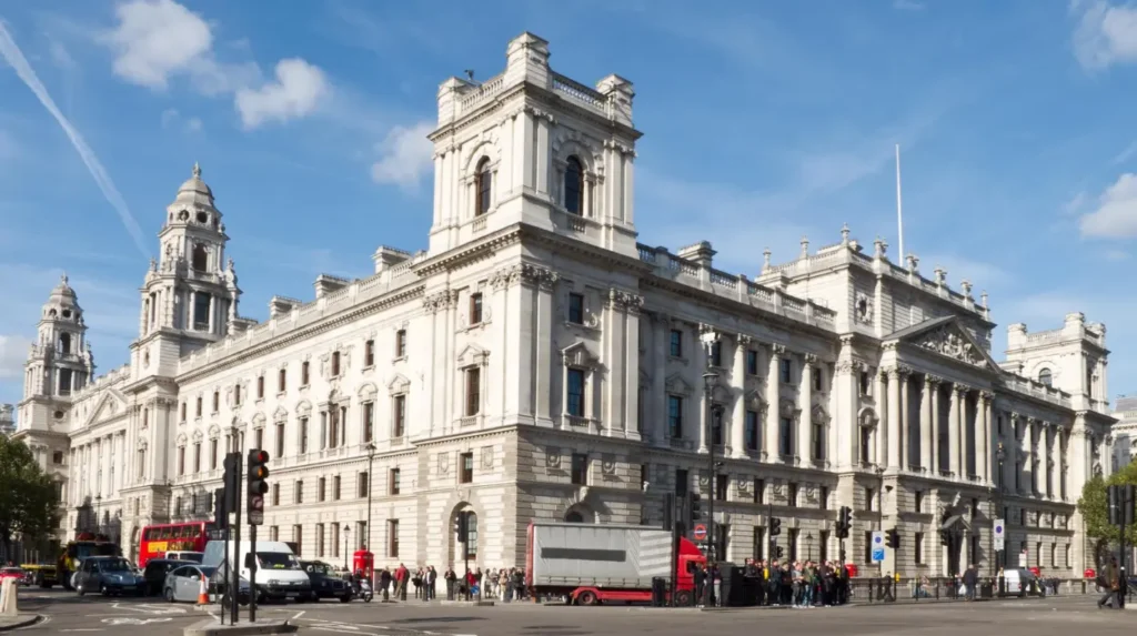
London preserves historic streets through conservation areas, listed buildings, archaeological protection, planning regulations, heritage organisations, and restoration projects. These measures protect architectural integrity while allowing modern businesses, residents, and visitors to use historic urban environments.
Heritage conservation balances preservation with contemporary urban needs.
The United Kingdom operates one of the world’s most comprehensive heritage protection systems. Listed building legislation safeguards structures of architectural and historical significance.
Conservation areas protect the overall character of historic neighbourhoods rather than individual buildings alone.
The City of London Corporation, local borough councils, Historic England, museums, and archaeological organisations collaborate on preservation initiatives.
Before major construction projects begin, archaeological investigations frequently recover Roman roads, medieval foundations, artefacts, and historic infrastructure.
Digital mapping, laser scanning, and historical archives assist researchers in documenting urban change while guiding restoration work.
Public interpretation through museums, plaques, walking routes, and educational programmes strengthens awareness of London’s historical landscape.
Conservation therefore preserves not only buildings but also street alignments, public spaces, and archaeological evidence that collectively explain London’s development.
Why do London’s famous streets remain historically important today?
London’s famous streets remain historically important because they preserve continuous evidence of political authority, commerce, architecture, transport, and everyday urban life spanning almost two thousand years, making the city one of the world’s richest historical landscapes.
Modern London functions as both a global metropolis and a historical archive.
Its streets reveal how urban environments evolve while retaining earlier layers of development. Roman engineering, medieval commerce, Georgian planning, Victorian infrastructure, and modern regeneration coexist within a single metropolitan landscape.
Historians use street patterns to reconstruct demographic change, commercial activity, property ownership, and political administration.
Architectural historians analyse surviving buildings to understand changing construction techniques and design philosophies.
Genealogical researchers rely on historic street records to trace family residences, occupations, parish affiliations, and business activities.
Tourism also benefits from preserved streets that allow visitors to experience authentic historical settings rather than reconstructed environments.
Ongoing archaeological discoveries continue expanding scholarly understanding of London’s development. Every major infrastructure project contributes new evidence about Roman occupation, medieval commerce, and early modern rebuilding.
As climate adaptation, sustainability, and urban growth shape twenty-first-century planning, London’s historic streets remain valuable examples of resilient urban design. Their continued preservation ensures future generations can study how one of the world’s oldest continuously occupied capitals developed from a Roman trading settlement into a modern global city while retaining remarkable physical connections to its past.
Why were London’s famous streets originally built?
London’s famous streets were originally built to connect Roman forts, markets, ports, royal residences, churches, government buildings, and growing neighbourhoods. Over time, they evolved to support trade, transportation, commerce, and urban expansion across successive historical periods.