Key Points
- Consultation Closure: London Gatwick Airport has officially concluded its extensive 14-week public consultation regarding the structural and operational future of departure Route 4.
- National Modernisation Mandate: The proposed alterations form an integral component of a broader UK government initiative directed by the Civil Aviation Authority (CAA) to modernise national airspace.
- Satellite Technology Shift: The proposal focuses on reintroducing modern, satellite-based PBN (Performance-Based Navigation) procedures to replace aging ground-based infrastructure.
- Tumultuous Legal History: Satellite tracking on Route 4 was originally initiated in 2013 but was subsequently legally challenged and withdrawn in 2019 due to unconsulted track deviations.
- Community Group Pushback: The independent environmental and community coalition CAGNE has formally objected, claiming that Gatwick’s mapping is misleading and fails to account for vectoring or future northern runway expansions.
- Operational Efficiency vs. Local Impact: While airport officials assert that satellite procedures will streamline efficiency and potentially lower noise footprints, local activists warn of concentrated “noise shadows” over specific residential zones.
- Next Regulatory Steps: All feedback gathered up to the closing deadline will be compiled into a comprehensive Consultation Report and forwarded to the CAA for a definitive statutory ruling.
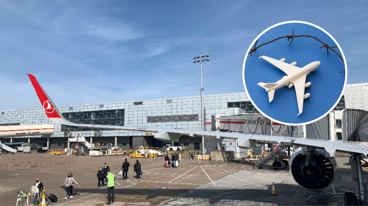
Sussex (The Londoner News) May 18, 2026 – London Gatwick Airport has officially closed its comprehensive 14-week public consultation on the future deployment of departure Route 4, marking a crucial step forward in a high-stakes operational redesign that could significantly reshape flight efficiency, schedule reliability, and local environmental impacts at the UK’s second-busiest aviation hub. The closure of the feedback window transitions the airport into a rigorous data-review phase, as executives compile stakeholder responses to present a formal Airspace Change Proposal (ACP) to the Civil Aviation Authority (CAA). As global flight volumes escalate, the technical frameworks governing departure paths directly influence daily punctuality metrics. Passengers navigating the airport have routinely encountered seasonal backlogs, and aviation authorities maintain that upgrading ancient ground-based flight infrastructure to satellite precision is the most sustainable mechanism to mitigate compounding delays. However, the closing of this consultation has simultaneously reignited fierce systemic friction between airport infrastructure operators and local environmental groups over localized noise pollution and structural mapping clarity.
- Key Points
- Why Is London Gatwick Overhauling Departure Route 4?
- What Is the Legal and Operational History of Route 4?
- How Do Airport Authorities View the Benefits of the Space-Based Upgrades?
- Why Are Local Community Groups Opposing Gatwick’s Route 4 Proposals?
- The Vectoring Disconnect Above 4,000 Feet
- Changes to Altitude Consultation Rights
- Omission of Northern Runway Integration
Why Is London Gatwick Overhauling Departure Route 4?
To comprehend the operational necessity behind the proposed airspace adjustments, it is vital to understand the geographic configuration of Gatwick’s terminal routing. Route 4 constitutes one of nine principal departure paths utilized by aircraft flying out of the airport’s main runway network.
Under standard westerly wind conditions, aircraft assigned to Route 4 take off in a westerly direction before executing a sweeping 180-degree turn northwards, ultimately heading eastbound toward their final continental or domestic destinations.
According to technical briefs published by the London Gatwick Media Centre, the primary driver behind this structural overhaul is a mandatory UK government infrastructure initiative aimed at completely modernising national airspace.
The overarching national regulatory framework requires commercial airports across the United Kingdom to transition from legacy, ground-based conventional navigation beacons to advanced, satellite-based navigational procedures.
As reported by aviation correspondent Katy White of Rayo News, the reintroduction of these satellite-guided trajectories is viewed by airport planners as an absolute necessity because the legacy ground-based infrastructure supporting conventional aviation navigation is systematically being phased out on a national scale.
While all other arrival routes and the remaining eight departure paths at London Gatwick have already successfully executed the transition to modern satellite tracking, Route 4 remains the final, highly controversial exception requiring a permanent regulatory resolution.
What Is the Legal and Operational History of Route 4?
The administrative timeline of Route 4 is defined by over a decade of bureaucratic gridlock, legal maneuvers, and local demonstrations.
The initial impetus for altering the airspace configuration dates back to 2012. By 2013, satellite-based navigational protocols were introduced across all nine departure corridors at Gatwick to optimize airspace capacity and reduce track dispersion.
However, the implementation on Route 4 immediately triggered intense scrutiny. As noted in historical regulatory documentation, including the CAA’s CAP1912 report, the shift to satellite precision concentrated the flight paths over tightly defined geographic areas that had not historically experienced intense overhead aviation traffic.
This concentration caused immediate pushback from newly affected residential zones in Surrey and Sussex.
As reported by Maisha Swanson of Travel Wires, due to a series of severe regulatory hurdles and sustained legal challenges brought forward by newly formed local noise action groups, the satellite-based tracking technology on Route 4 was subsequently completely withdrawn in 2019.
Following this forced reversion, aircraft were mandated to return to legacy conventional navigation methods, which resulted in broader, less predictable dispersion patterns over a wider geographic area. The newly concluded 14-week consultation represents Gatwick’s renewed, legally compliant effort under the CAA’s strict CAP1616 airspace change process to re-establish satellite navigation while attempting to address the legal errors of the past.
How Do Airport Authorities View the Benefits of the Space-Based Upgrades?
From the perspective of airport management and flight operations teams, the implementation of satellite navigation is critical to securing the long-term logistical efficiency of the single-runway operation.
Gatwick functions as the most efficient single-runway airport in the world, maintaining a declared maximum operational capacity of up to 57 aircraft movements per hour. With an annual passenger volume hovering around 43 million travelers, even minor tracking deviations can create cascading delay patterns across the wider European airspace network.
In official communication distributed via the London Gatwick Airport Media Centre, Andy Sinclair, the Head of Noise and Airspace Strategy at London Gatwick, emphasized the airport’s appreciation for the robust civic engagement observed during the data-gathering window. Sinclair stated that:
“We would like to thank all those who responded to the public consultation and engaged with us through our webinars and in-person events over the past 14 weeks. We are really pleased with the level of engagement. We will now review all feedback and provide further updates in due course.”
The airport’s corporate position remains clear: reintroducing satellite-based Performance-Based Navigation (PBN) is not merely a strict regulatory box-ticking exercise mandated by the state, but a mechanism to deliver palpable environmental and operational benefits.
Airport planners argue that by utilizing highly predictable, hyper-accurate satellite tracks, airlines can minimize tactical fuel burn, decrease overall carbon dioxide emissions during the initial climb phase, and offer more reliable departure windows that directly prevent the localized flight cancellations that frequently plague peak summer holiday schedules.
Explore More London Local News
Heathrow Passenger Dip 5.3% Amid Iran Conflict, West London 2026
Qingdao Launches London-Sydney Air Cargo Hub via Capital Airlines, 2026
Why Are Local Community Groups Opposing Gatwick’s Route 4 Proposals?
Despite the optimistic efficiency projections put forward by airport executives, the proposals have faced intense resistance from local grassroots organizations.
Chief among the opposition forces is CAGNE (Communities Against Gatwick Noise and Emissions), an independent, non-political aviation watchdog and environmental coalition representing affected residents across Sussex, Surrey, and Kent.
In a comprehensive formal response published by the editorial board of CAGNE, the group leveled serious allegations against Gatwick Airport Limited (GAL), claiming the public consultation process was fundamentally flawed and structurally misleading to lay observers. In an official organizational statement, a designated copy editor for CAGNE stated that:
“GAL advertised the consultation by offering a map that was not true to the flight of the route as of today and historically. In summary, the consultation focuses only on the initial turn and excludes later vectoring from 3,200 ft, leaving many affected communities without a voice. Gatwick also proposes removing the Noise Preferential Route (NPR), meaning future flights outside it would no longer be assessed against NPR protections.”
The Vectoring Disconnect Above 4,000 Feet
CAGNE’s technical objection emphasizes that the consultation materials present Route 4 as a clean, single-track line. However, in real-world operational conditions, air traffic controllers routinely implement “vectoring”—giving pilots custom directional headings once the aircraft passes an altitude of 3,200 to 4,000 feet.
By failing to visually map the wide dispersal caused by subsequent vectoring, CAGNE argues that thousands of residents living under the wider “noise shadow” have been left completely unaware of the true environmental impact they will endure.
Changes to Altitude Consultation Rights
The community group has also raised alarms regarding proposed modifications to government air navigation guidance. Under current frameworks, both noise profiles and CO₂ emissions are actively weighted up to an altitude of 7,000 feet.
The revised guidance seeks to prioritize noise impacts alone below 4,000 feet, which critics argue effectively strips away future consultation and legal appeal rights for rural communities overflown at higher altitudes.
Omission of Northern Runway Integration
Furthermore, CAGNE points out that none of the four shortlisted options presented in the Route 4 consultation take into account the cumulative airspace capacity demands of Gatwick’s proposed £2 billion sustainable growth programme, which seeks to bring the airport’s existing emergency Northern Runway into routine, daily operational use.
The group argues that designing a permanent departure route without modeling the dual-runway environment constitutes an administrative oversight. Consequently, CAGNE has formally stated that it cannot support any of the single-route choices outlined in the airport’s proposal.